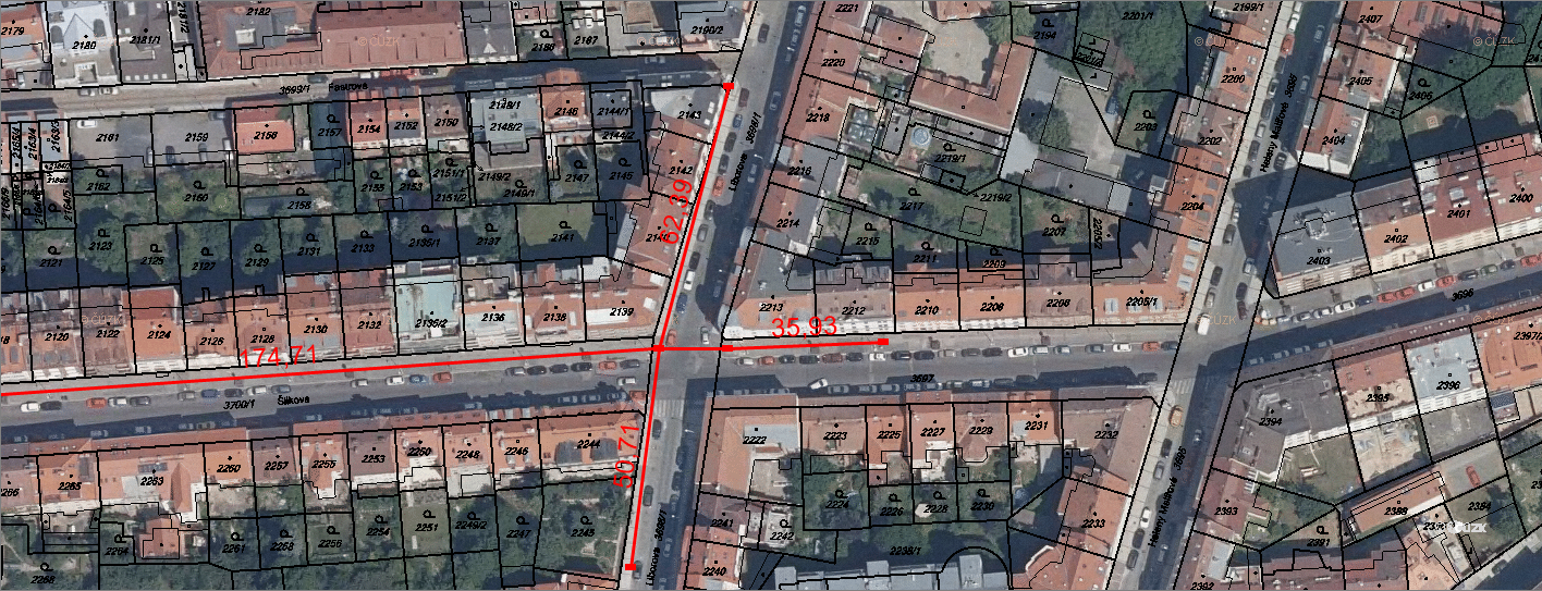
WMS / WMTS
NetStork now allows you to view map data distributed by WMS (Web Map Service) and WMTS (Web Map Tile Service). These two services are standards for providing maps over the Internet. Added map data is displayed in the NetStork as well as the classic underlying map – OpenStreetMap. These maps are usualy for free and no registration is required.
Benefits
With WMS / WMTS services, NetStork can be enriched for example by aerial images, cadastral maps, landuse maps and much more.
