All attributes can now be edited directly in the NetStork environment.

All attributes can now be edited directly in the NetStork environment.

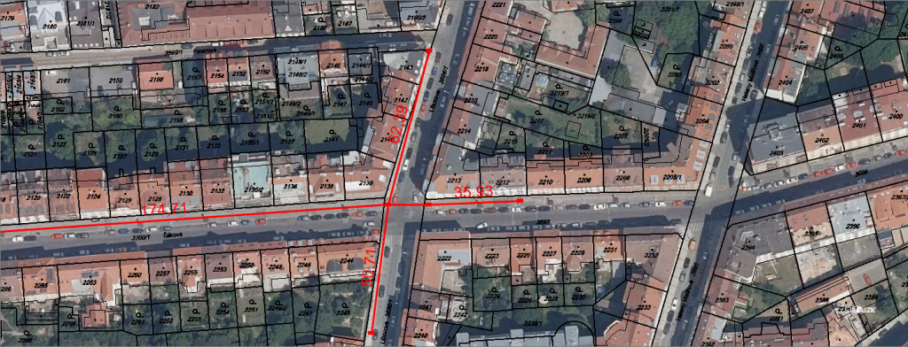
NetStork now allows you to view map data distributed by WMS (Web Map Service) and WMTS (Web Map Tile Service). With WMS / WMTS services, NetStork can be enriched for example by aerial images, cadastral maps, landuse maps and much more.

We added new features: enhanced Schema View and new Copy / Paste function.

Check out the newest features of NetStork for managing the specs and setting of fiber optic cables…

Globema has won a tender for the implementation of optical network inventory at the National Centre for Nuclear Research in Poland. The product…